Jefferson County gives RV travelers choices across the Pacific coast, Hoh Rain Forest, Hood Canal, and Port Townsend. You can reserve private hookups, use a first-come county or federal site, camp beside the ocean, explore a coastal fort, or choose a primitive Washington DNR river camp. This guide now reflects completed state, federal, DNR, county, city, port, private, and tribal inventory passes. It keeps current closures visible so an unavailable campground is not mistaken for a trip option.
Best walkable full hookupsPoint Hudson has 46 full-hookup sites beside downtown Port Townsend.
Best first-come hookupsUpper Oak Bay provides electrical service with a 30-foot vehicle limit.
Best larger-rig choiceFort Flagler accepts rigs up to 50 feet and offers multiple service levels.
Best simple lake stopLake Leland has 22 dry sites, fishing and paddling; bring all potable water.
Seventeen campground records worth comparing
Each page uses the same fields for rig length, hookups, facilities, access, and booking. County camps are first-come and limited to 30-foot vehicles. Private parks add reservable hookups, while National Park and National Forest choices range from reservable coastal sites to dry first-come camping. Check the current status shown on each record before travel.
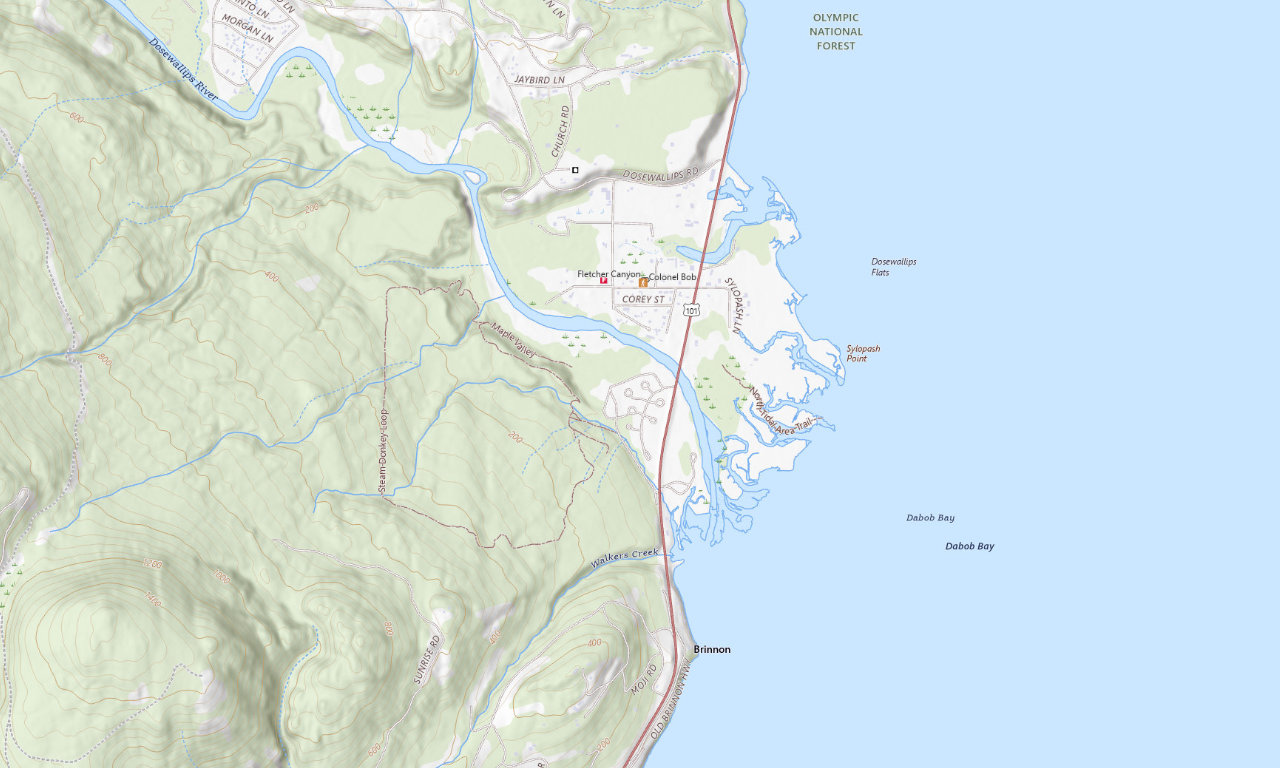
Hood Canal + riverDosewallips State Park
A flexible choice for mixed groups because the current map shows standard, water-and-electric, and full-hookup areas. The official park maximum is 40 feet, while individual pads vary.
Up to 40 ftFull hookups availableYear-round camping
See campground details →
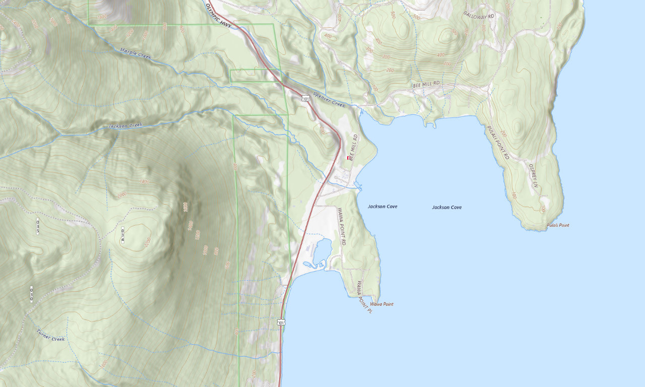
Private Hood Canal baseCove RV Park & Country Store
Full-hookup sites for RVs up to 40 feet, plus showers, laundry, Wi-Fi, a country store, and online booking between Quilcene and Brinnon.
25 sitesUp to 40 ftFull hookups
See campground details →
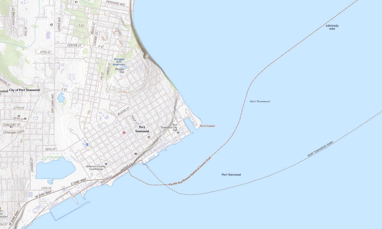
Walkable Port TownsendPoint Hudson Marina & RV Park
The Port operates 46 full-hookup and two dry sites beside the marina. Showers and laundry are on site, but no single park-wide rig maximum is published.
48 sites46 full hookupsReserve online
See campground details →
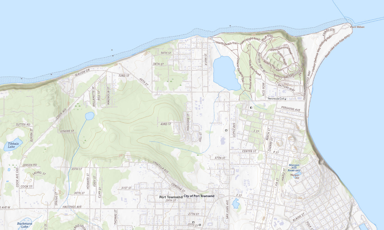
Port Townsend valueJefferson County Fairgrounds
More than 50 full-, partial-, electric-, and dry-site choices near Fort Worden. Full-hookup sites fit rigs up to 50 feet; reservations are required.
Over 50 sitesUp to 50 ftSeasonal closures
See campground details →
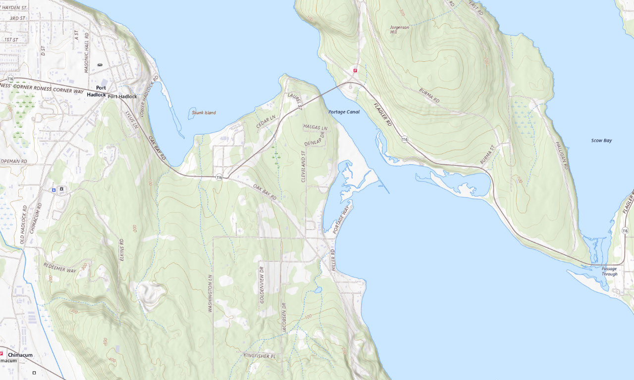
Electric + first-comeUpper Oak Bay Campground
Wooded county camping above Oak Bay with electrical service, water, toilets, beach access, and a playground. Every vehicle must be 30 feet or shorter.
24 listed sitesElectricFirst-come
See campground details →
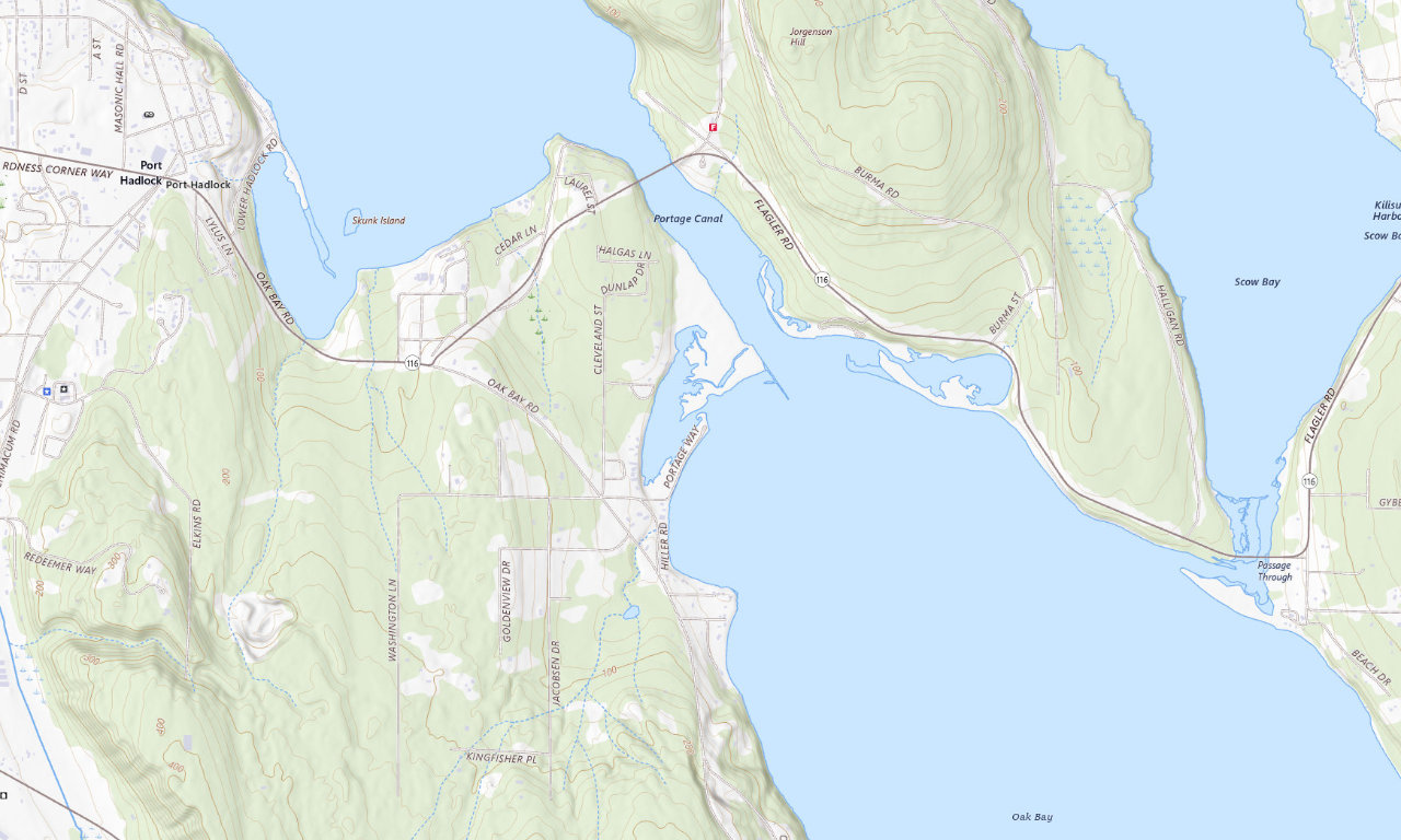
Shoreline + first-comeLower Oak Bay Campground
Dry camping on a shoreline spit with water, toilets, a nearby boat ramp, and a 30-foot vehicle maximum. The live site count conflicts with the county brochure.
12 listed sitesNo hookupsFirst-come
See campground details →
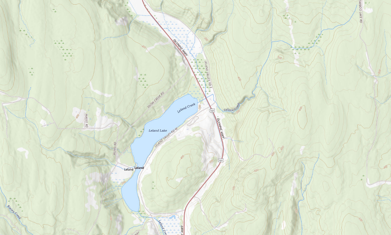
Lake + first-comeLake Leland Park Campground
Twenty-two dry sites near a fishing pier and boat ramp. The county publishes a 30-foot limit and explicitly warns that no potable water is available.
22 sitesUp to 30 ftBring water
See campground details →
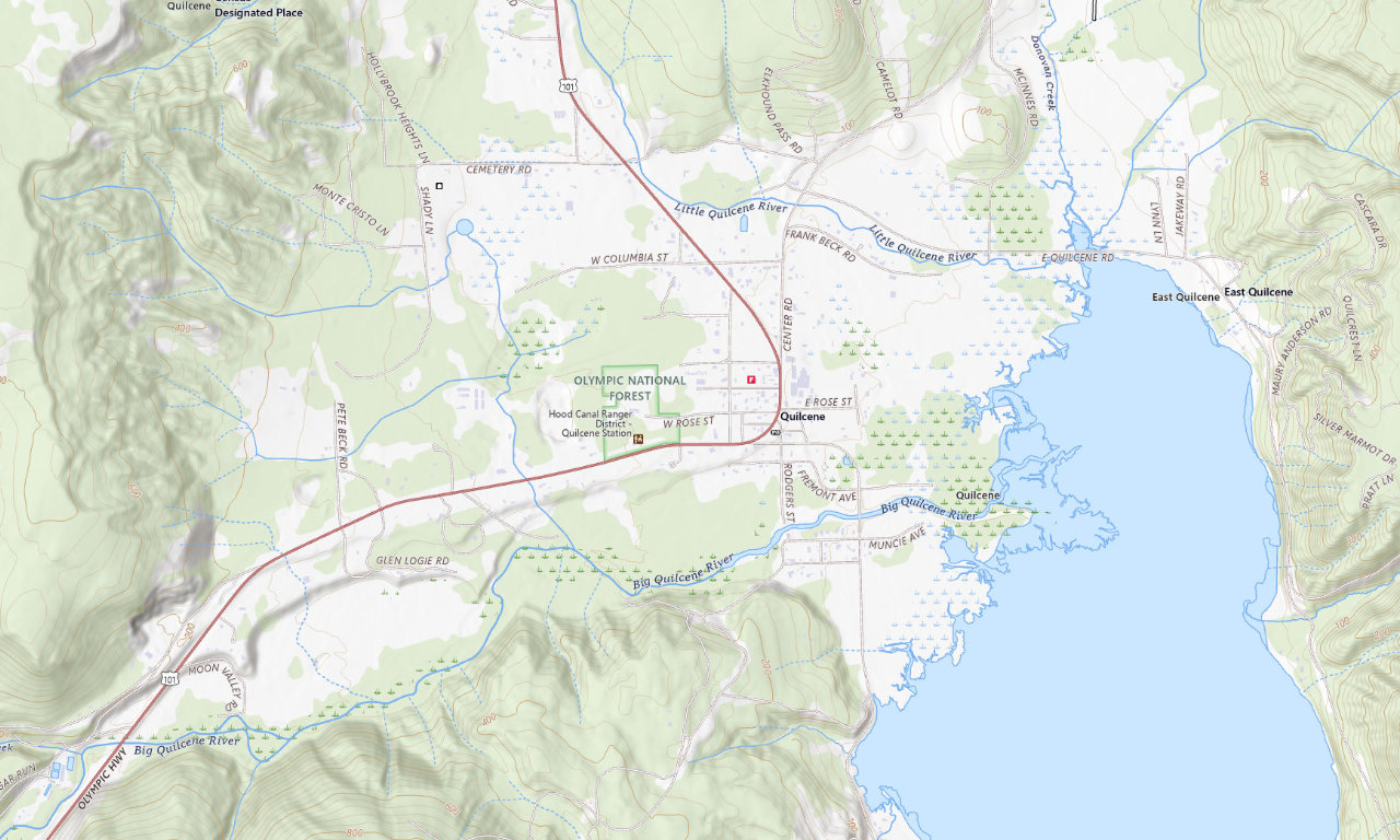
Small in-town baseQuilcene Campground
Nine wooded sites beside the community center, with water, toilets, a playground, and courts. It is first-come and limited to 30-foot vehicles.
9 sitesUp to 30 ftNo hookups
See campground details →
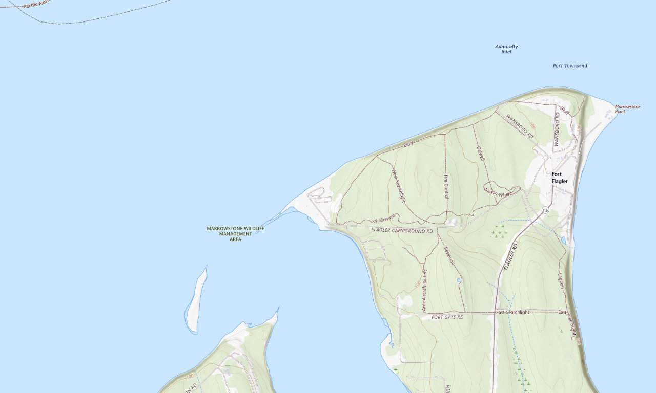
Marrowstone IslandFort Flagler Historical State Park
The Lower Campground has standard, partial, and full-hookup choices near the water; the Upper Campground trades hookups for a more sheltered forest setting.
114 standard/full-hookup sitesUp to 50 ftTwo campgrounds
See campground details →
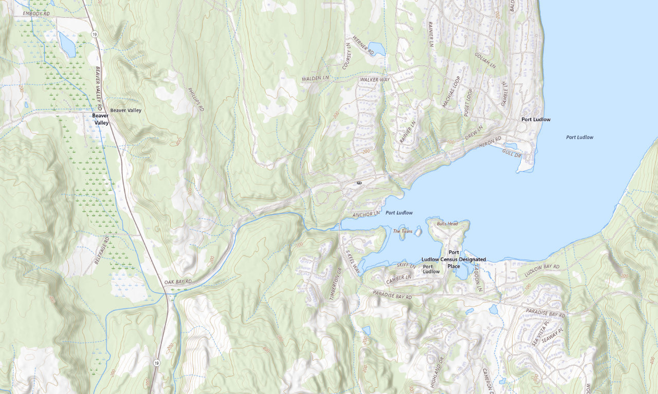
Wooded private parkPort Ludlow RV Park
A year-round, wooded base with full hookups and pull-through choices near Ludlow Falls and the marina. Call directly and confirm the assigned pad for rigs approaching 40 feet.
37 sitesUp to 40 ftCall to reserve
See campground details →
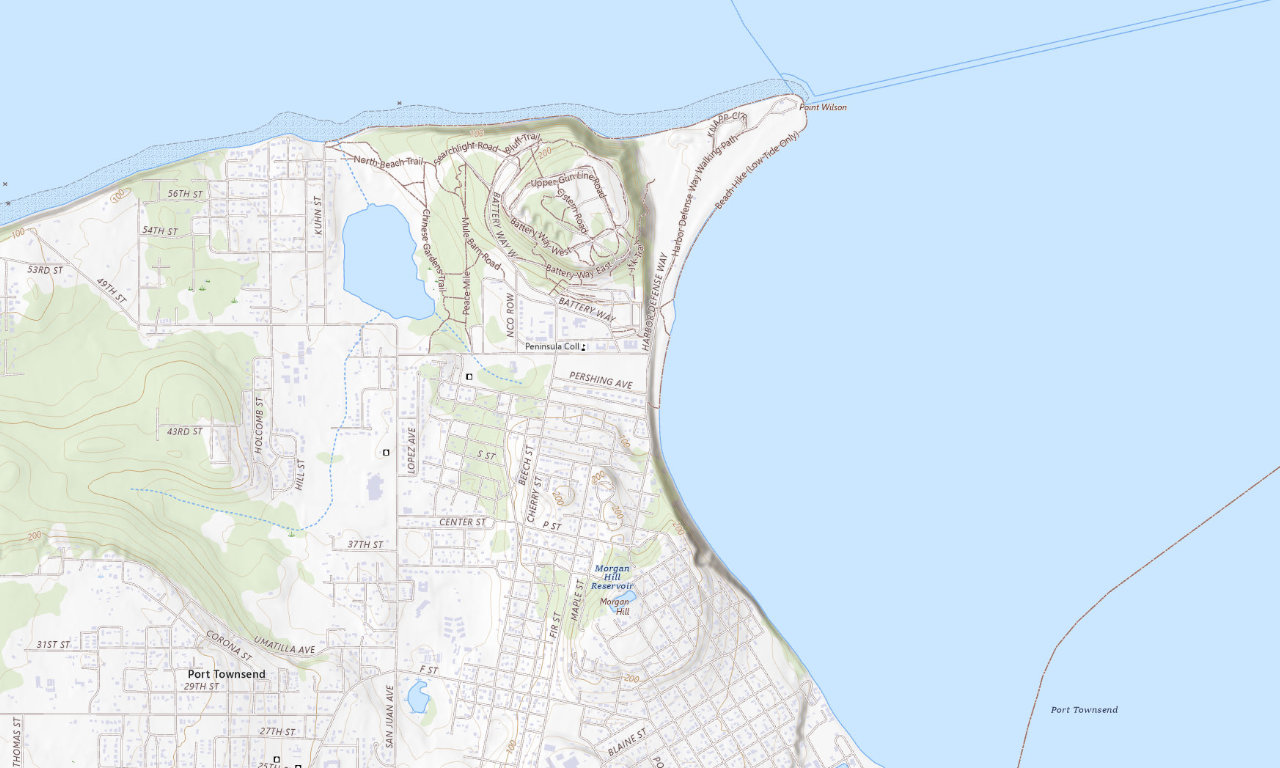
Port TownsendFort Worden Historical State Park
Choose this when proximity to Port Townsend and Point Wilson matters most. It is the natural companion to Fort Flagler for travelers interested in the historic coastal forts.
Full hookups availableBeach + fortNear town
See campground details →
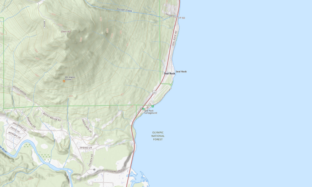
Olympic National ForestSeal Rock Campground
The Forest Service currently labels this 41-site Hood Canal campground closed. Its published RV limit is 21 feet, correcting the older 40-foot figure previously shown here.
Currently closedUp to 21 ftNo hookups
See campground details →
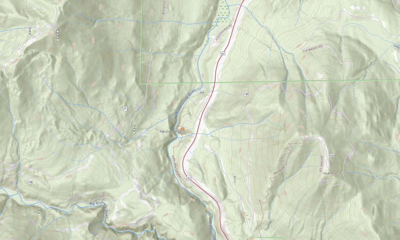
Olympic National ForestFalls View Campground
A dry, first-come campground directly off US 101 with a short waterfall loop. The current overview lists 11 sites, with selected older loop spaces documented for RVs up to 35 feet.
11 currently listed sitesSelected sites to 35 ftBring water
See campground details →
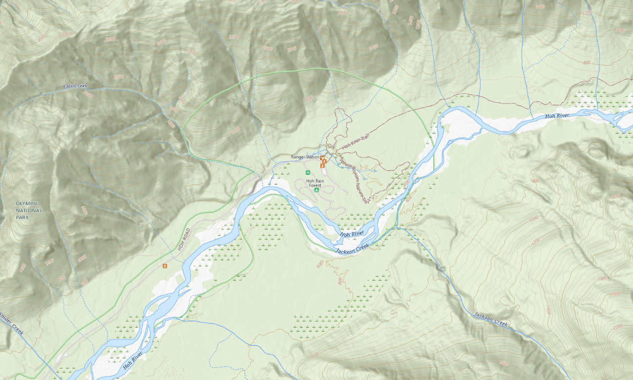
Hoh Rain ForestHoh Campground
National Park camping beside the Hoh River with summer reservations and selected sites for RVs up to 35 feet. It is the closest public campground to the Hall of Mosses.
Dry campingUp to 35 ftSummer reservations
See campground details →
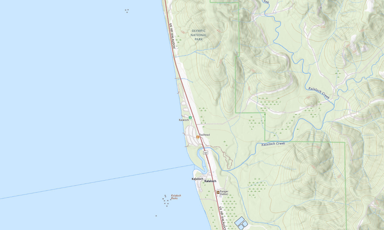
Pacific coastKalaloch Campground
A large National Park campground above the Pacific with summer reservations, drinking water, a dump station, and selected campsites for RVs up to 35 feet.
170 sitesUp to 35 ftOcean access
See campground details →
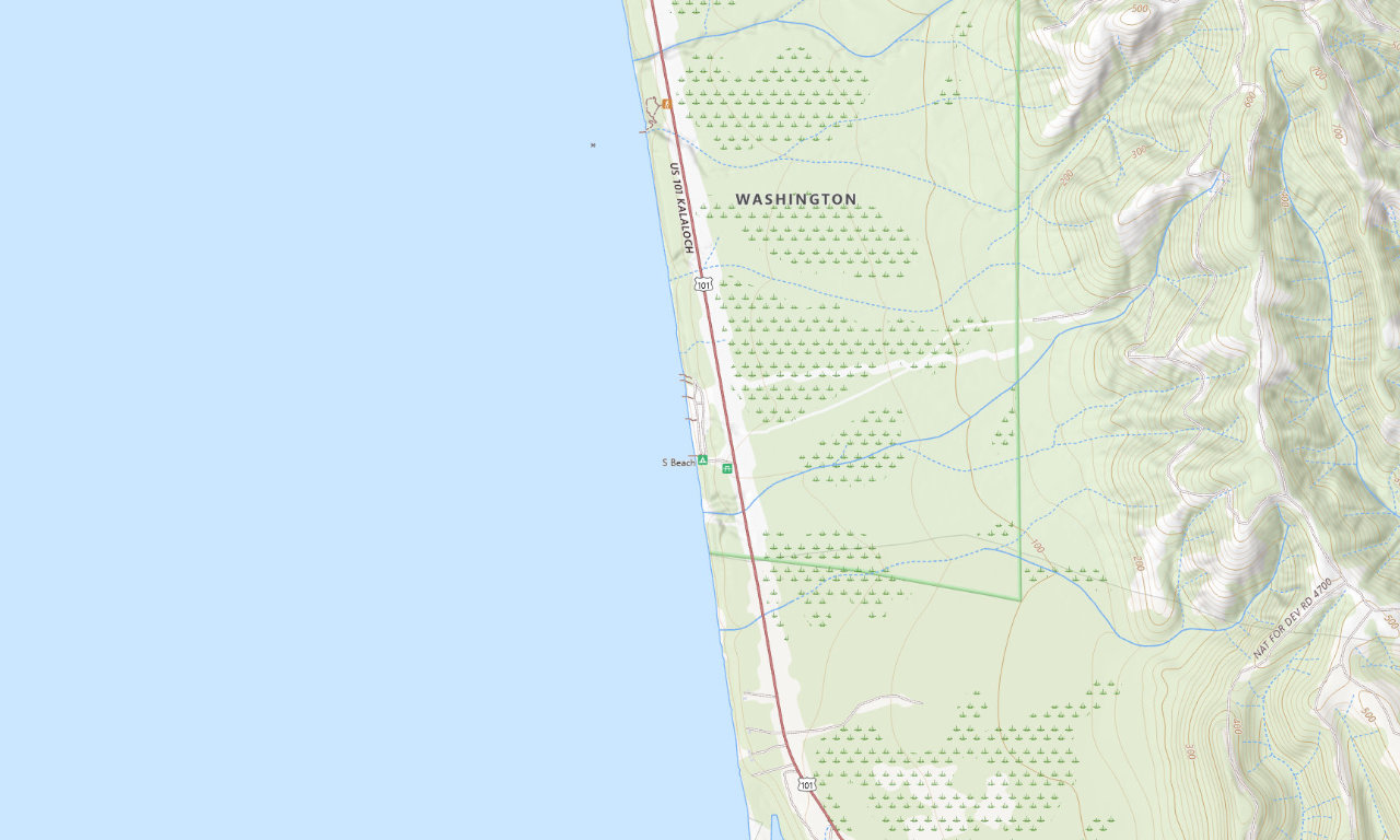
Seasonal Pacific coastSouth Beach Campground
First-come summer camping on an ocean bluff. It has no potable water or hookups, and the NPS lists mostly 21-foot sites with a few spaces up to 35 feet.
55 sitesA few to 35 ftFirst-come
See campground details →
Hoh Rain Forest gatewayHard Rain Cafe & Campground
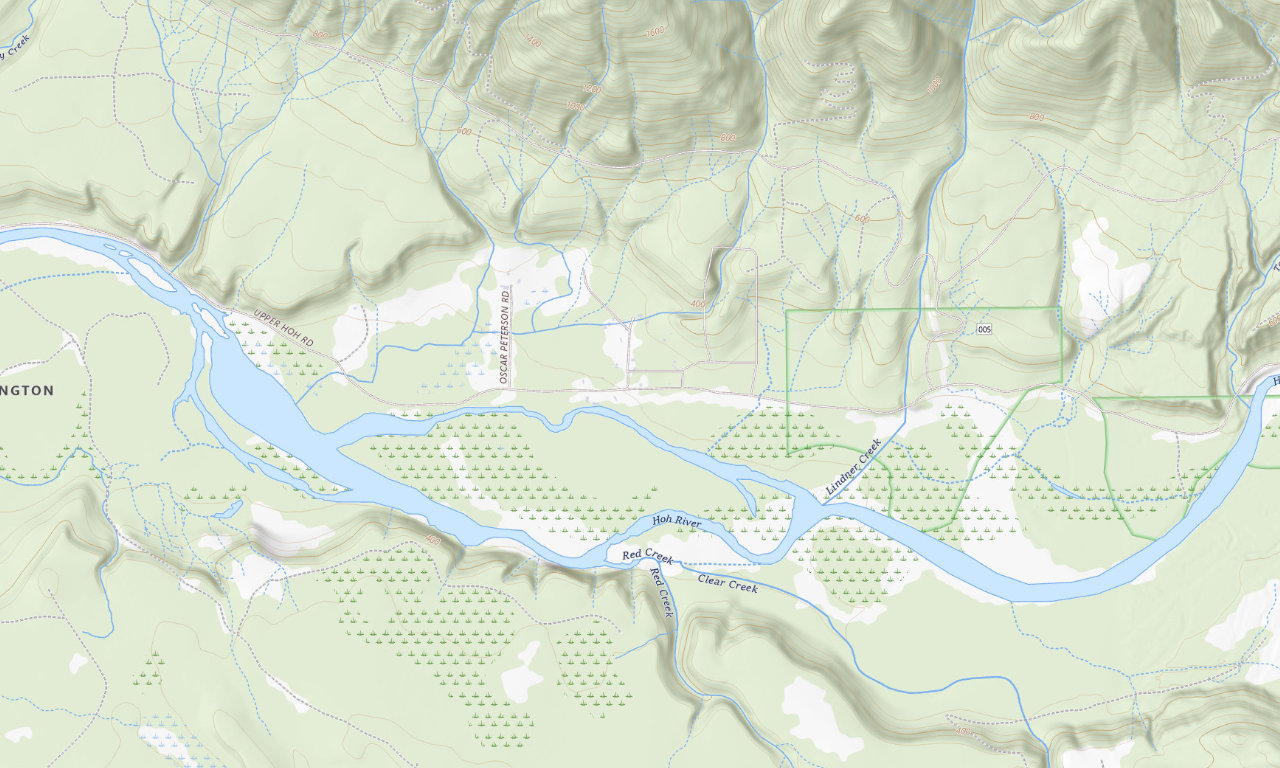
A small seasonal campground on Upper Hoh Road with water and electric service, hot showers, and a cafe. The operator recommends early or evening national-park entry in peak season.
13 sites36 ft reportedMarch 15–Nov. 15
See campground details →
DNR · easiest approachHoh Oxbow Campground
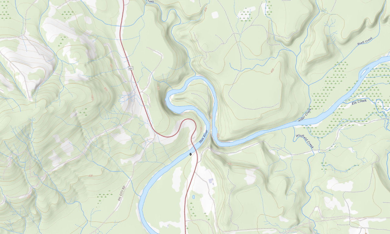
Eight first-come dry sites beside a Hoh River oxbow, directly off US 101. DNR allows trailers to 30 feet and has scheduled a full closure September 14–October 13, 2026.
8 sitesUp to 30 ftCheck closure
See campground details →
DNR · Upper Hoh RoadMinnie Peterson Campground
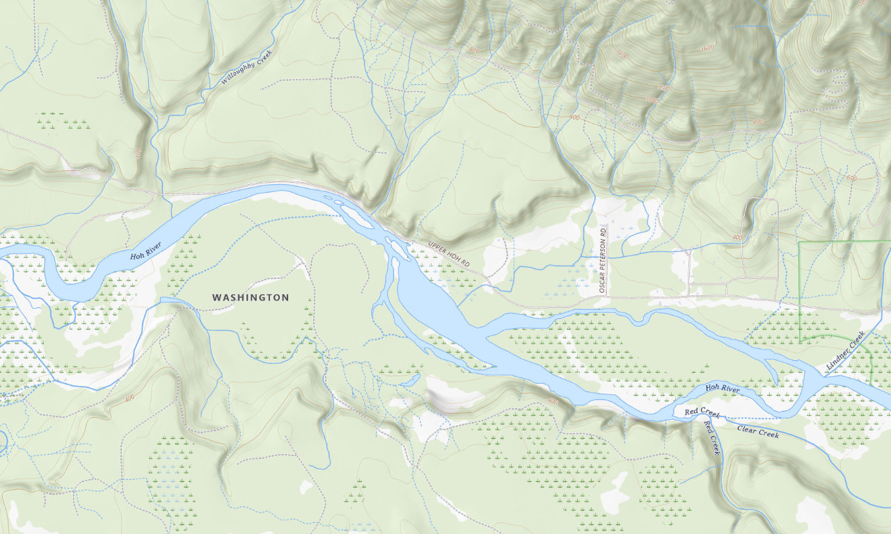
Nine primitive creekside sites on Upper Hoh Road. It is first-come, dry, and best suited to compact rigs even though DNR publishes a 30-foot trailer maximum.
9 sitesUp to 30 ftBring water
See campground details →
DNR · lower HohCottonwood Campground
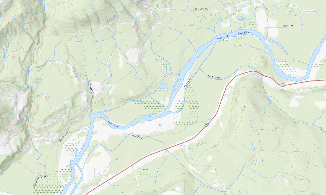
Wooded first-come camping reached from Oil City Road. DNR allows trailers to 30 feet, but does not publish a current site count and turning room varies.
Site count unconfirmedUp to 30 ftNo hookups
See campground details →
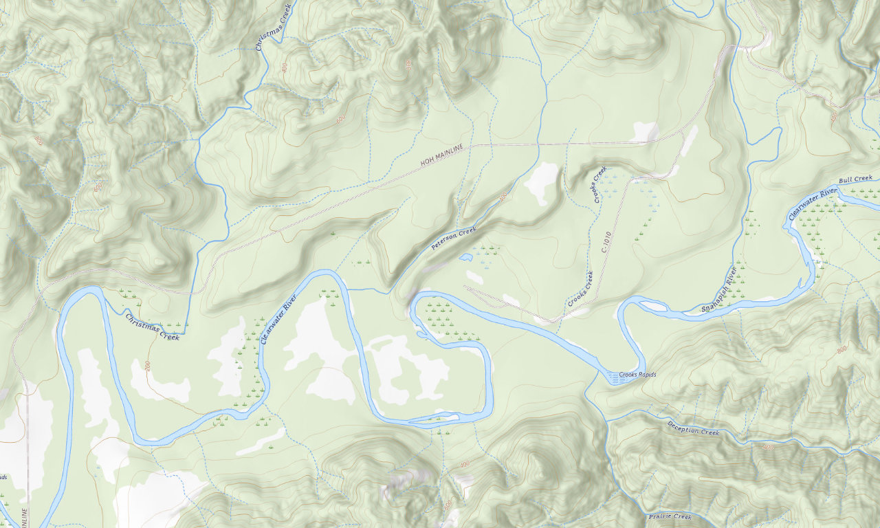
DNR · Clearwater RiverCoppermine Bottom Campground
Primitive river camping for self-contained rigs, reached by a long gravel forest-road approach. DNR allows trailers to 30 feet; current site-count reports conflict.
Up to 30 ftLong gravel accessNo hookups
See campground details →
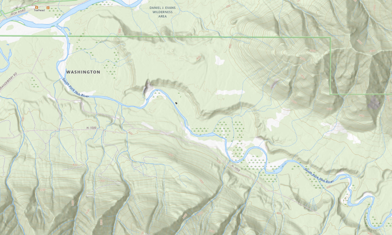
DNR · remote river campSouth Fork Hoh Campground
The most remote choice in this guide, with roughly 14 miles of forest-road access after US 101. Use a smaller self-contained rig and check road conditions before towing.
Up to 30 ft~4 hr 15 minCell unconfirmed
See campground details →
How to choose your base
- Choose Point Hudson for full hookups and the easiest walk into Port Townsend; verify your exact pad length during booking.
- Choose Cove RV Park for online booking, full hookups, and on-site services along the Brinnon side of Hood Canal.
- Choose Port Ludlow RV Park for a wooded full-hookup stay near Ludlow Falls and the marina; reservations are handled by phone.
- Choose Hard Rain when Hoh Rain Forest access matters most and water-and-electric service is enough for your rig.
- Choose Hoh Oxbow for the simplest DNR road approach, or Minnie Peterson for a small creekside camp on Upper Hoh Road.
- Choose Coppermine Bottom or South Fork Hoh only when your rig and supplies are ready for long primitive forest-road access.
- Choose the Fairgrounds for a reservable, service-rich Port Townsend base that can fit selected rigs up to 50 feet.
- Choose Upper Oak Bay when you want inexpensive electrical service and can arrive early enough for first-come camping.
- Choose Lake Leland or Quilcene for a small, simple county stay; all county options cap vehicles at 30 feet.
- Choose Dosewallips when hookups and easy access to both river and Hood Canal environments are your priority.
- Choose Fort Flagler for a destination campground with beaches, history, and roomier RV options away from town.
- Choose Fort Worden when restaurants, Port Townsend, and a walkable waterfront setting matter more than seclusion.
- Choose Falls View for a small, dry National Forest stop near Quilcene; confirm the open loop if your RV approaches 35 feet.
- Choose Hoh for the shortest start to the Hoh Rain Forest trails, or Kalaloch for a larger reservable coastal base.
- Choose South Beach for first-come ocean-bluff camping when you can arrive with all the water you need.
- Keep Seal Rock as a future option after the Forest Service posts a reopening; the current published RV limit is 21 feet.
Driving from Seattle
The campground pages use stable no-ferry planning estimates: about one hour and 45 minutes to Port Ludlow, two hours to Quilcene, Falls View, Lake Leland, and Oak Bay, two hours and 15 minutes to Cove and Seal Rock, two and a half hours to Port Townsend, a little over three hours to Kalaloch and South Beach, and three hours 45 minutes to four hours 15 minutes for the DNR and Hoh corridor sites. The DNR estimates add towing margin for gravel or primitive access roads. Google often shows a shorter ferry route or moving time that omits the wait that matters when towing.
A practical two-stop trip
Pair one Hood Canal or lake campground with one northern or western base. Dosewallips, Cove, Falls View, Quilcene, and Lake Leland cover the southern half of the county; Seal Rock returns to that group after reopening. Port Ludlow, Fort Flagler, and the two Oak Bay campgrounds work well around the Hood Canal Bridge and Marrowstone Island. Fort Worden, Point Hudson, and the Fairgrounds cover Port Townsend. Treat Hoh and Hard Rain as rain-forest bases, and Kalaloch or South Beach as a separate coastal stop.
How this guide was reviewed: Federal facts were checked against current NPS, Forest Service, and Recreation.gov records. DNR facts were checked against the current Washington DNR campsite inventory, Olympic Peninsula recreation page, and official recreation guide. Local facts were checked against Jefferson County, Port of Port Townsend, fairgrounds, and current operator sources. Conditions and individual site limits can change; confirm current status and the exact site before travel.